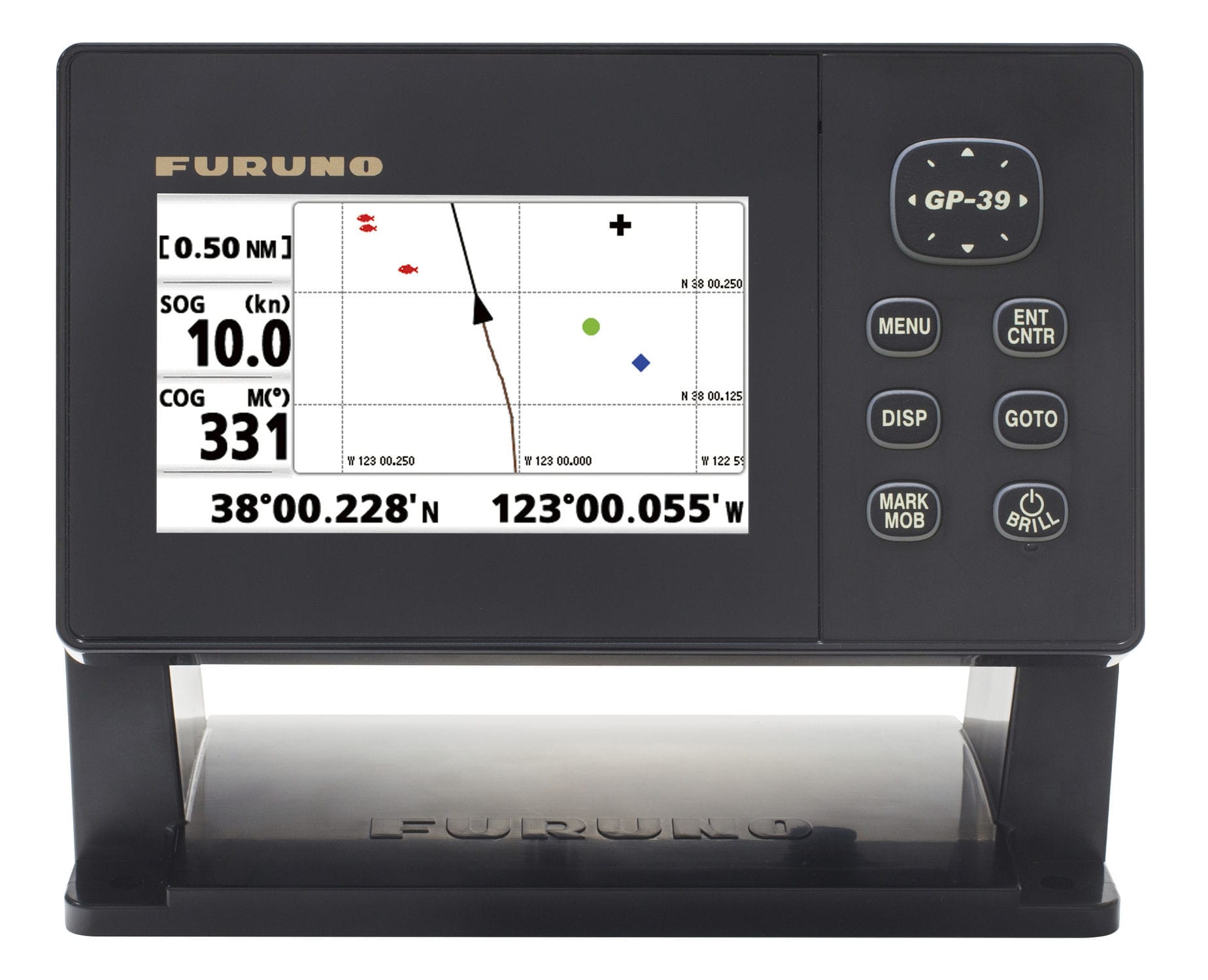
A GPS (Global Positioning System) is a navigation system that uses signals from satellites to determine the exact position of an object on Earth. On a ship, a GPS is used to determine the ship's position and speed, as well as to plan routes and avoid obstacles. It can also be used in conjunction with other navigation systems, such as radar systems and chartplotters, to provide a more comprehensive view of the maritime situation. Additionally, it helps to avoid collisions with other boats, as it is used to determine your position in the water and the distance to other nearby boats. It can also help avoid reefs and other underwater hazards that cannot be seen with the naked eye. Furthermore, it is used to prevent illegal fishing, as it allows the authorities to track the position of the boats and confirm if they are operating within the permitted zones.
First of all, it is important to mention that GPS is a satellite-based navigation system, which means that it uses signals emitted by orbiting satellites to determine the position of an object on Earth. These satellites emit signals that contain precise information about your position and time, and a GPS receiver on the boat can use this information to calculate its own position.
On a ship, GPS is primarily used to determine the ship's position and speed. This is especially important for offshore navigation, as it allows the pilot to know his exact position in relation to shorelines, reefs, and other underwater hazards. It also allows you to plan navigation routes and avoid obstacles, since it provides precise information about the position of the ship in relation to the reference points on the nautical chart.
Another important function of GPS on a ship is to help avoid collisions with other ships. By knowing the position of other ships nearby, the pilot can take actions to avoid a collision, such as changing course or reducing speed. It can also help avoid reefs and other underwater hazards by providing accurate information about the ship's position relative to these obstacles.
Additionally, GPS is often used in conjunction with other navigation systems, such as radar systems and chartplotters, to provide a more comprehensive view of the maritime situation. These systems work together to provide information about the ship's position, speed, direction, and distance to nearby objects.
In short, GPS is an essential tool for boat navigation, providing precise information on the boat's position and speed, allowing navigation route planning, and helping to avoid collisions with other boats and other underwater hazards.

