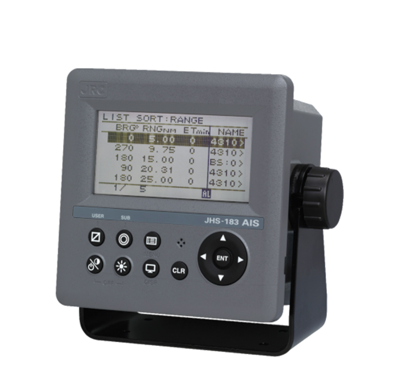
An Automated Navigation Information System (AIS) is a communication system used by ships and other vessels to identify themselves and share important information about their position, speed, and course. AIS uses transceivers that emit radio signals over a VHF frequency. These signals contain information about the name of the ship, its registration, its GPS position, its speed and its course.
In addition, AIS can also receive this same information from other nearby ships, allowing crew members and marine traffic controllers to have a better understanding of the position and intentions of vessels in their area. This helps reduce the risk of collisions and improve the efficiency of maritime traffic.
AIS can also be used to monitor the position of ships in real time and to generate automatic alerts if a ship gets too close to a danger zone or if its speed is unusually high or low.
In short, AIS is an automated communication system used by ships to share important information about their position, speed and course with other ships and marine traffic controllers, helping to reduce the risk of collisions and improve the efficiency of maritime traffic.

