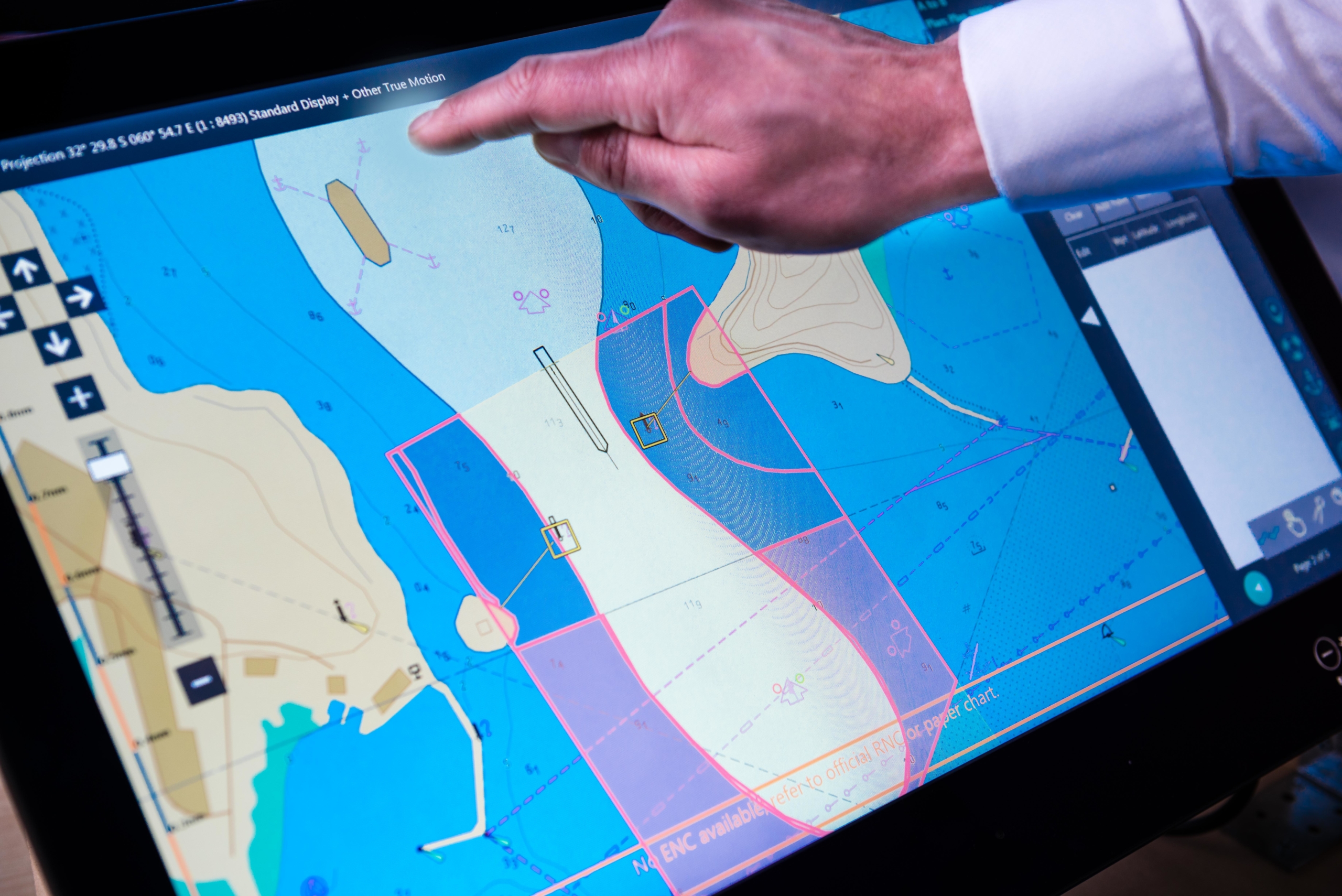
ECDIS (Electronic Navigation Information Systems) are electronic navigation systems used on ships to help mariners plan and follow safe routes, and to avoid collisions and other hazards during navigation. ECDIS is a navigation information system based on electronic charts, which provides accurate and up-to-date information on the seabed, hazards, restrictions and navigation routes.
ECDIS are made up of a number of components, including a central processing unit, a monitor, a user interface, and a data entry system. The central processing unit is the heart of the system, and is responsible for processing and storing navigation information. The monitor is the device used to display the navigation information, and it can be a touch screen or a computer screen. The user interface is the part of the system that allows users to interact with ECDIS and control its operation. The data entry system allows additional information to be entered, such as the current position of the ship and weather information.
ECDIS are essential for safety at sea, as they provide accurate and up-to-date information on the seabed, hazards, restrictions and navigation routes. This helps boaters plan and follow safe routes, and avoid collisions and other hazards while underway. In addition, ECDIS is an important tool for navigation management and route planning, and is especially useful in areas with a high amount of maritime traffic or with navigation restrictions.
In short, ECDIS are electronic navigation systems that provide accurate and up-to-date information on the seabed, hazards, restrictions, and navigation routes. They are essential for safety at sea, helping boaters plan and follow safe routes and avoid collisions and other hazards while sailing.

